View All
Bozeman Real Estate Market
Development
Bozeman Business
Bozeman Neighborhoods
Get Outside
Moving to Bozeman
Retiring in Bozeman
Just for Fun
The Selling Side
The Buying Side
Bozeman Nonprofits
Affordable Housing
Community Events
Living in Bozeman
Belgrade Real Estate
Livingston Real Estate
Manhattan Real Estate
Three Forks Montana Real Estate
Big Sky Real Estate
Moving to Montana
Home Ownership
Living in Montana
Bozeman Real Estate Group
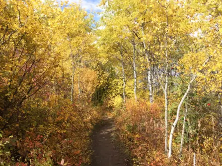
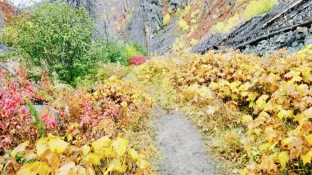
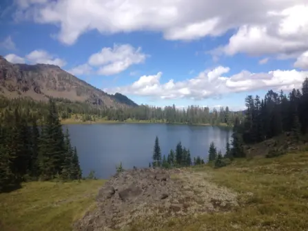
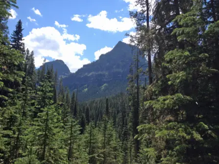
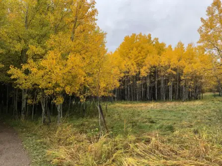
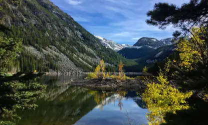
Fall is one of the best times to hike in Bozeman, Montana because the tourists have left, making the trails less crowded and the changing colors are beautiful to see. Below is a list of the ten best hiking trails worth exploring during the fall season in and around Bozeman.
1. Bear Canyon/New World Gulch
These two trails both start off of Bear Canyon Road and are less crowded than a lot of trails this close to town. Bear Canyon Trail follows a creek up to Bear Lakes with a loop towards the middle to take if you’d rather not go all the way to the lake. The trail goes in and out of forested areas, opening up at points to take in rock outcroppings and overlooks down to the creek. New World Gulch is the trail right before Bear Canyon and is a stream-fed gulch near Mystic Lake. The trail takes you to a meadow below Mt. Ellis and you can take it 6 miles to Mystic Lake.
Getting There: Take I-90 east to the Bear Canyon exit, take a right on Bozeman Trail Rd and then Left to Bear Canyon to the trailheads. New World Gulch is first and then a little further up is Bear Canyon with a few more parking spots.
2. Corbly Gulch
There have been a lot of improvements on this trail in the past two years and is a great choice for fall to see the colors of the many aspen groves. It starts with switchbacks through a forested area and meadows with views of the valley as you go. You cross the creek and it ends at a nice meadow, perfect picnic spot. If you are feeling ambitious you can climb two more miles to Sacajawea Peak. This trail is also popular with mountain and dirt bikers, so be aware. As long as everyone uses their trail manners we all can all get along!
Getting There: Take Springhill Road to Springhill Community Rd and take a left at Corbly Gulch. Some people will park here and walk the last mile to the trail head as the last mile is rough and a high clearance vehicle is recommended.
3. Sypes Canyon
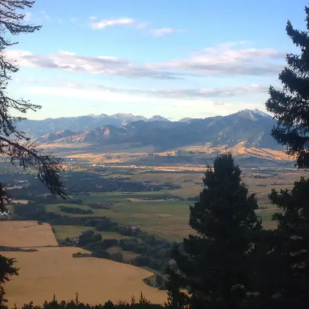
The views of the valley from the lookout point make this a popular hike year-round. The aspen groves are colorful this time of year as you go in and out of forests and it connects with the Bridger Foothills trail so you can continue along the ridge if you want to extend your hike. The overlook is two miles from the trailhead and it is a fairly moderate hike making it a good choice for families.
Getting There: Take Springhill Road to Sypes Canyon and continue to the Y. Stay right and there is parking either at the trailhead or in an overflow parking lot. Keep in mind this is a neighborhood, so make sure to pay attention to the no parking signs.
4. Saddle Peak
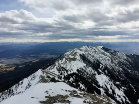
Fall is a great time to get a peak hike in. The air is cooler making it easier to reach the top than during the hot summer months. Saddle Peak is in the middle of the Bridger Range and is less popular than Baldy and Sacajawea on either side. There are a few ways to get to the peak, but the easiest access is from Middle Cottonwood Trailhead. The first couple miles of the trail will be busier as this one is popular. The trail crosses the creek a couple of times, weaves in and out of meadows, and then begins a steep ascent. It continues to climb up the trail and it gets a bit rocky on the final part. You come to the south summit and can take a short walk to the north summit from there. For more hikes that end at a peak, click here.
Getting There: Take Springhill Rd to Sypes Canyon. Take a left onto Summer Cutoff and then a left on Saddle Mountain and follow it to the trailhead.
5. Spanish Creek Trails
The drive alone out to these trails is worth it. Once you leave the highway you enter the Flying D Ranch, owned by Ted Turner, and can enjoy the scenic drive catching sight of bison almost the entire time. In fact, if you don’t even feel like a hike, just take the drive! (However, the hikes are worth it!) The most popular is the trail to Pioneer Falls. When you get to the end of the road and park you will find the trailhead just on the other side of the creek. The hike to the waterfalls is 4 miles, but it’s an easy trail with little elevation gain making it good for all abilities. A couple of miles in the trail splits, so if you are looking for a hike to a lake rather than a waterfall veer left to head to Mirror Lake. From this split, it is around 4.5 miles to the lake so give yourself plenty of time. For more waterfall hikes, click here.
Getting There: Off of Hwy 191 towards Big Sky take a right onto Spanish Creek Road. Continue until you reach the Spanish Creek campground and trailhead.
6. Golden Trout/Hidden Lakes Trail
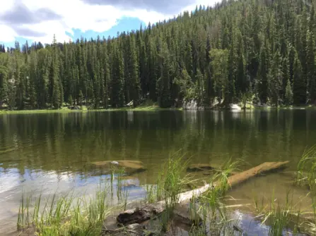
Both of these hikes are just over 2 miles making them fairly easy on the hiking scale. The Golden Trout Lakes climbs around 1,200 feet and is the more popular of the two. Hidden Lakes starts slightly higher and has a bit more elevation gain. There are views of the canyon and you’ll often find people fishing at both lakes. One thing to note before heading for these trails is the road to get there is rough so a vehicle with good clearance is a good idea!
Getting There: Take Hwy 191 south of Bozeman for just under 39 miles and then take a left on Portal Creek Road. It’s three more miles to a junction, head left for Golden Trout Lakes and right for Hidden Lakes.
7. Mill Creek/Passage Falls
This hike is best for fall because much of the forest was burnt several years ago, so there isn’t much shade during the heat of summer. It’s a unique hike going through this trail knowing it used to be a lush forest. It’s a fairly easy hike, four miles round trip. Right before the falls, you hit a junction where you can hike down to the base of the waterfall or up to the top. Both are great options, with the hike down being very steep so perhaps not the best for little ones.
Getting There: Hwy 89 south from Livingston to Mill Creek Rd. The road will turn to gravel and you’ll pass a few campgrounds before coming to the parking lot for the Passage Creek Falls trailhead.
8. Emerald/Heather Lake
Hyalite Canyon quiets down this time of year so getting in some fall hikes is easy. Emerald Lake is a nice 10 mile round trip hike sitting in a beautiful mountainous meadow. Throughout the hike you can see many of Hyalites more prominent peaks, views down the canyon and even glimpse a couple waterfalls. Heather Lake is a half mile farther.
Getting There: Head up Hyalite Canyon, past the reservoir and take the left fork towards the Palisade Falls trailhead. Continue a mile past that trailhead to the end of the road.
9. Lick Creek
This little-known gem in Hyalite is often quiet making it a good choice for a peaceful hike. It is an easy 8-mile loop that follows Lick Creek Rd which is an old logging road that follows Lick Creek. It takes you through a forest to the Bozeman Creek Divide and you get fantastic views of the Hyalite Peaks. It’s a good one to save for fall when the temperatures begin to cool off.
Getting There: Head up Hyalite Canyon around 8.5 miles to the sign for Lick Creek on the right. This is the parking lot, but the trailhead is actually on the other side of the road .2 miles
10. Triple Tree
No fall hiking list would be complete without Triple Tree. It’s close to town, offers great views at the end, and is beautiful when the leaves are changing color. If you start from the bottom you meander along the side of Triple Tree Subdivision before dipping down into the more forested area. Some park at the top and just do the upper loop. It all depends on how much time you want to spend on the trail. The upper loop has a bench at the top to take a break and overlook all of Bozeman. Definitely a favorite around here!
Getting There: Take Sourdough Rd, past Goldenstein to the Triple Tree parking lot on the left.
Want more?
